Stages of construction – What steps should be followed?
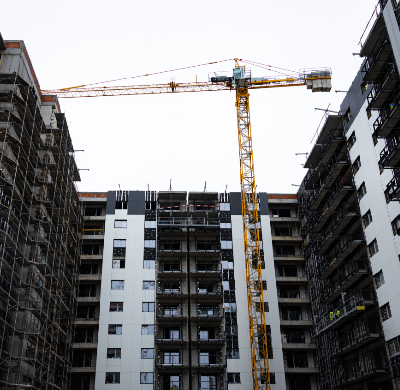
Stages of construction – What steps should be followed? We continue the series of informative materials that we provide to our clients and partners and we invite you to go through the information gathered by the Eurosurvey team regarding the steps to be taken in the construction process. You will find out, in a chronological […]
Topographical plan – What is it and how does it help us?
What is the topographic plan, definition on everyone’s understanding? The topographic plan is defined as a graphic representation of an area of land on a conventional scale, a technical drawing drawn up for the purpose of orthogonally projecting points on the earth’s surface. The topographic scale is the ratio between a distance measured on the […]
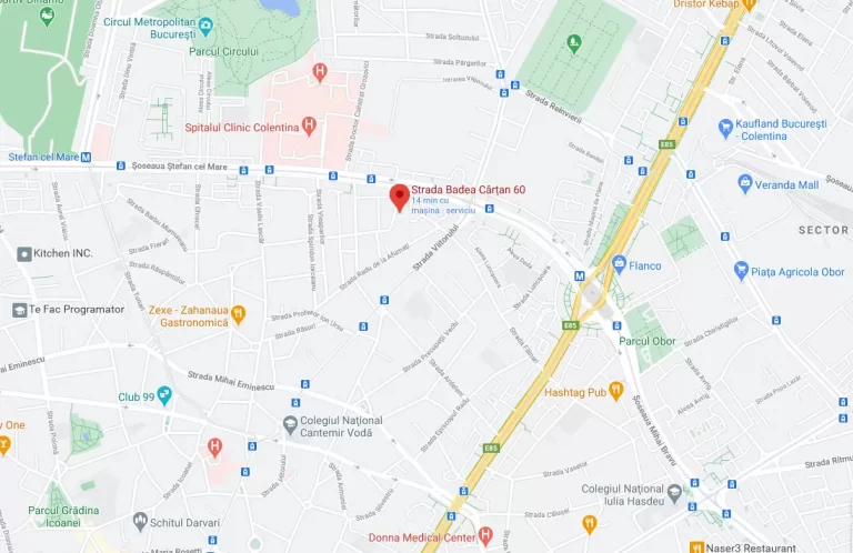
Construction certificate

Construction certificate What is the construction certificate? The construction certificate attestation certificate issued by the local authority issuing the building permit is an administrative document certifying that the building construction was carried out according to the building permit and that there is a receipt at the end of the works. The document is requested by […]
Parallels between classical and modern topographic surveying methods
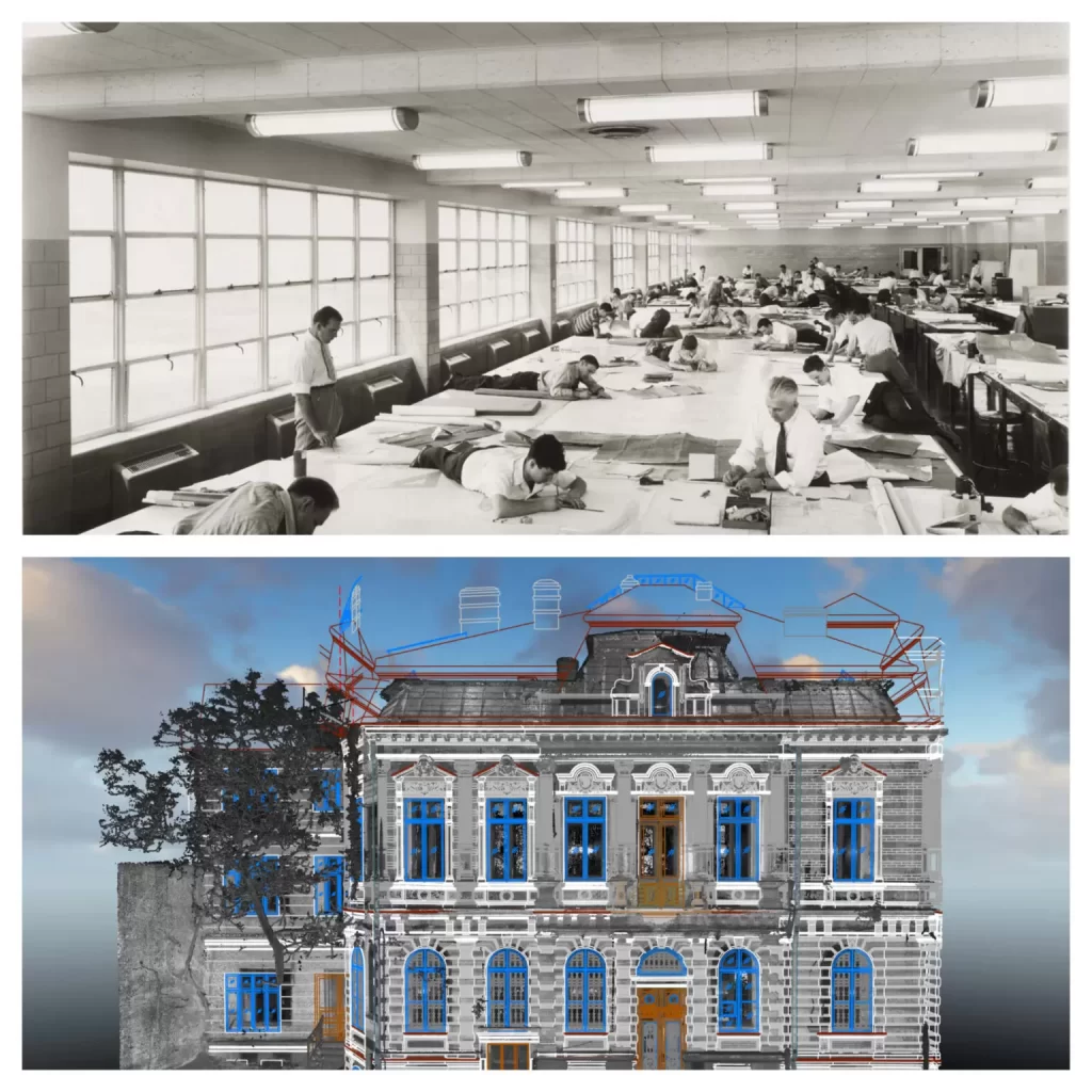
History of topographical measurements Drawn up as a means of illustrating Michael the Brave’s battles against the Turks, the first informative maps of the Roman Lands appeared in 1596 in Italy and Germany. The first maps illustrated by romanians were those made by the stolnic Cantacuzino in 1700 for Valahia Mare and that of Moldavia […]
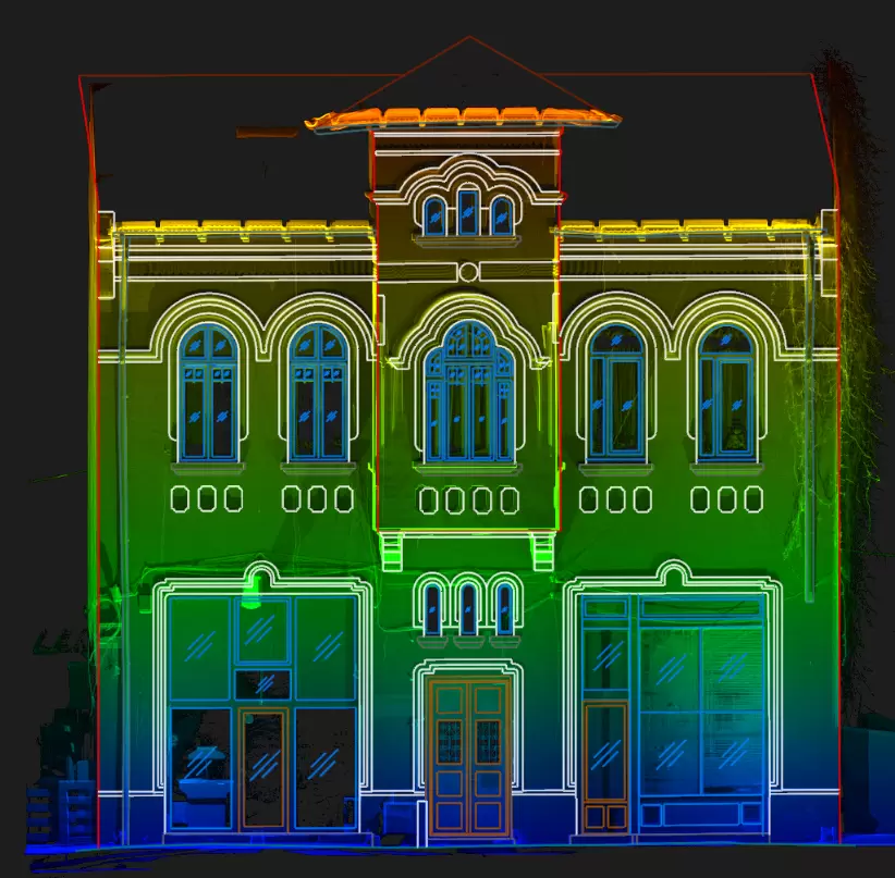
Designing a Facade Plan – Then versus Now
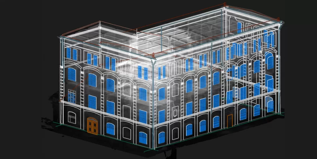
What is a facade plan? The scale representation of an existing or designed construction in formats agreed by all parties involved and that respect the standards of the legislation in force is done in specific plans, differentiated according to the purpose for which they are drawn up. The facade plans represent the surface of a […]
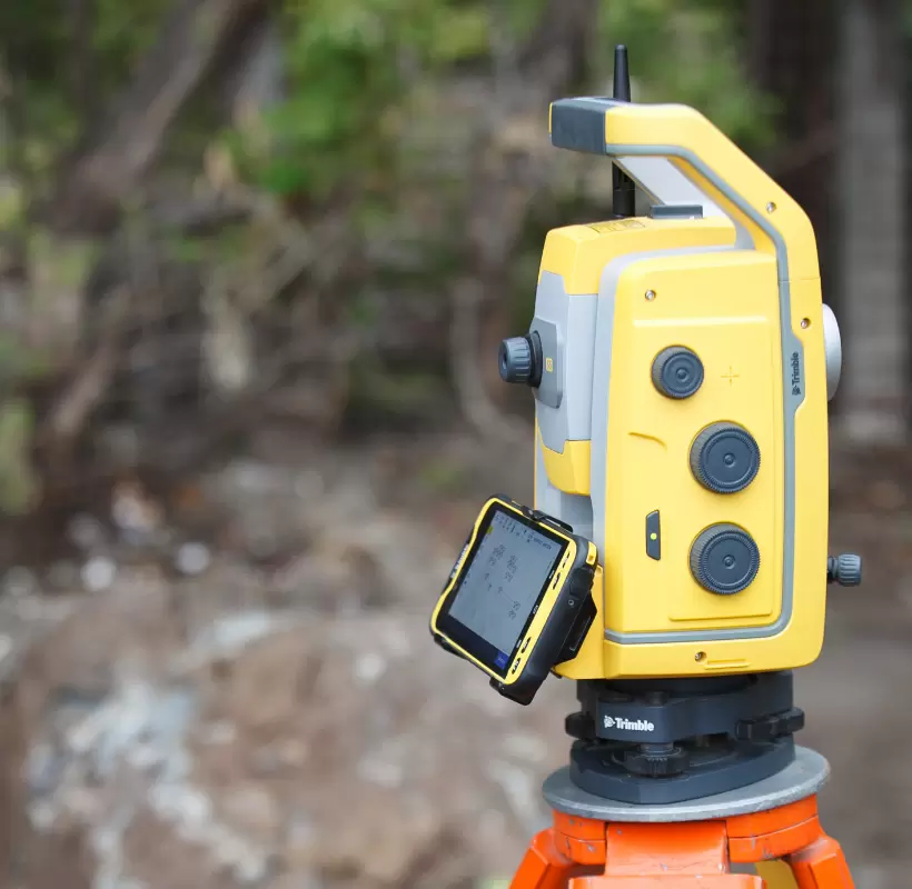
What are topographic surveys and what are they used for?

What are topographic surveys and what are they used for? What are topographic surveys? An integrated part of the documentation necessary to obtain building permits, demolition or framing in urban plans, topographic surveys are the result of field measurements and facilitate the transposition of technical projects in the field according to the plans that make […]
Consolidation and restoration of historic and old heritage buildings – What does this process entail?
Consolidation and restoration of historic and old heritage buildings – What does this process entail? Historical monuments represent those real estate, constructions and lands located on the territory of Romania or outside its borders, properties of the Romanian State, significant for the history or culture and national or universal civilization. The classification in the regime […]
Subdivision into flats – What is it and what documents do you need?

Subdivision into flats – What is it and what documents do you need? Although it may seem intuitive, the definition of subdivision into flats is within the reach of specialists and a constant question mark among online searches. In order to explain to everyone what this process entails, it is first necessary to define the […]