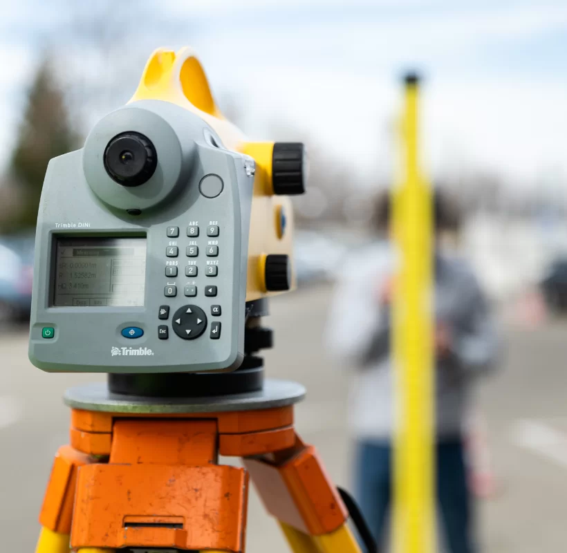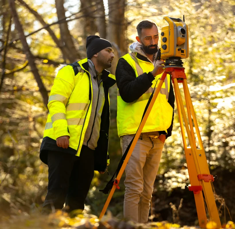

Topographic studies are an integral part of the documentation required for obtaining construction, demolition, or zoning permits. They result from measurements taken at ground level and facilitate the implementation of technical projects on the ground according to the plans that comprise them.
A topographic plan reproduces, to scale, a terrain graphically represented by points on the earth’s surface, projected orthogonally. The representation of elements studied from a topographic perspective faithfully depicts the geometric shape, the elements of planimetry, and the terrain relief analyzed in accordance with the norms of the Stereographic Projection 1970 (the official cartographic projection in our country).
What is the role of topographic studies?
When the topographic study (topographic plan) receives approval from the OCPI (the Office of Cadastre and Real Estate Advertising) assigned to the county where the site is located, the documentation gains legal value certifying that the studied parcel has characteristics described in it, from the mentioned dimensions to the surface or the limits of the construction, as well as how it is positioned in space in real terms.
What does a topographic study include?
Designed to form the basis for incorporating the geometric shape of the analyzed terrain and the constructions on its surface into the map of the area where they are located, a topographic study must include relevant information regarding:
- The exact positioning of the objects studied (terrain and construction) and their location in relation to the boundaries of neighboring properties.
- Existing utility networks in the area (water supply networks, sewerage systems, stormwater networks, electricity supply, natural gas supply) and their connections to main pipelines.
- Shapes, dimensions, and boundaries delineating each element included in the study.
- Level differences within the analyzed perimeter.
- The presence and dynamics of watercourses near the study area.
- Vegetation elements within the analyzed perimeter.
A topographic plan can be:
- Planimetric (when determining the plan position of points on the analyzed surface)
- Altimetric (when determining vertical position/altitude of identified points)
The documents required for a topographic survey include:
- Land book extract
- Urbanism certificate
- Plan or sketch of the property to be measured (if applicable)
- Other property documents (if applicable, sales-purchase contract, inheritance certificate, etc.)
When more information about existing buildings on the surveyed land is desired, such as roof shape, facade decoration details, or exact dimensions of certain parts of the construction, 3D scanning can also be opted for.
Who performs topographic studies?
Prepared at the request of the designer, architect, or when required by state institutions through the urbanism certificate, the topographic plan is drawn up by individuals or legal entities approved by ANCPI (the National Agency for Cadastre and Land Registration).
A land surveyor is the one who can prepare such documentation and will also be responsible for submitting the approval request to the Cadastre and Real Estate Advertising Office in the county where the surveyed object is located.
How much does a topographic study cost?
Xplorate Group offers services for preparing topographic study documentation, and the prices vary depending on the surveyed area and the complexity of the work. Our related services include:
- Obtaining the urbanism certificate for attachment-detachment
- Drafting the plan for the declaration of use and easement for ENEL (without measurements), for DISTRIGAZ (under the same conditions)
- Drafting the plan for overlaying the road grid according to approved urban planning documentation
- Drafting the plan with coordinate inventory according to E-TERRA
- Obtaining the PMB utility network plan
- Postal number certificate
- Building permit certificate
We provide specialized services, up-to-date information on the necessary documentation, and details regarding the steps to be followed.
We offer our experience of over 18 years in ensuring the highest quality standards in the field of topographic measurements, land registration and 3D scanning, and assure you of the active involvement of the entire team in achieving the expected results.