
History of topographic measurements
Dating back to the illustrations of battles fought by Mihai Viteazu against the Turks, the first informative maps of the Romanian Lands appeared in 1596 in Italy and Germany. The first maps illustrated by Romanians were those made by Stolnic Cantacuzino in 1700 for Greater Wallachia and the one of Moldova executed by Dimitrie Cantemir in 1737. The Moldova map had meridians and geographical parallels marked on it.
Throughout history, progress in science worldwide has echoed in our country, with efforts in this field gradually materializing with the first map of Moldova made by Dimitrie Cantemir and printed in The Hague in 1737, and the first large-scale topographic surveys in Moldova and Wallachia between 1872-1892, to meet the needs of the army.
After 1989, Romania aligned with modern technologies and introduced the use of global positioning systems (GPS), total stations, satellite remote sensing recordings, and state-of-the-art scanning and computing equipment.
Efforts in this direction accelerate the automation of systems, help increase measurement precision and data processing speed, significantly contributing to the modernization of topographic measurements performed.
Classical measurement methods
The development of terrestrial surveying science and topography, in particular, should be viewed in close connection with the appearance and continuous improvement of geotopographic instruments.
In topography works, rulers or tapes are used for direct measurement of distances, usually made of special steels.
Tapes are made of a steel band with a width of 15-20 mm and a length of 50m or 100m, guaranteed at 20°C.
Distance measurement by optical means is carried out using a specific instrument equipped with a telescope and a graduated rule. Theodolites are instruments where the measured base is at the sighted point, and telemeters have the base incorporated into the device.
Modern measurement methods
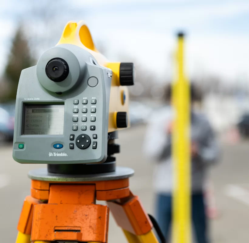
Modern topographic instruments (total stations, GPS systems) rely on indirect measurement of distances using waves from the electromagnetic radiation spectrum as the measurement signal carrier.
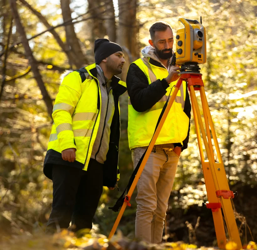
Total stations
Electronic distance measurement is performed within total stations using Electronic Distance Measurement (EDM) devices, using waves from the electromagnetic spectrum. They allow convenient, rapid, and highly accurate measurement of both angles and distances, their automatic display and recording, and transfer to a computer, with specialized programs for solving survey and layout problems also incorporated.
GPS System
The Global Positioning System (GPS) is based on distance measurement through waves, being widely accepted and used today, with the results positioning it as superior to classical triangulation in terms of precision, efficiency, and economic efficiency.
Laser distance measurement
For certain categories of construction works, alignment and positioning lasers can also be used. The procedure involves creating alignments by quickly positioning a point within a local axis system, as well as accurately measuring distances.
Alignment lasers are used to create a strictly rectilinear path. The instruments emit a laser beam that automatically horizontalizes/verticalizes, with a helium-neon gas tube as the source.
Positioning lasers are portable or rotating and allow the determination of the planimetric position of a point within a local coordinate system, at distances of up to 50-60m. They collect data from three barcoded staffs through the rotating beam and calculate the plane coordinates x, y in a few seconds.
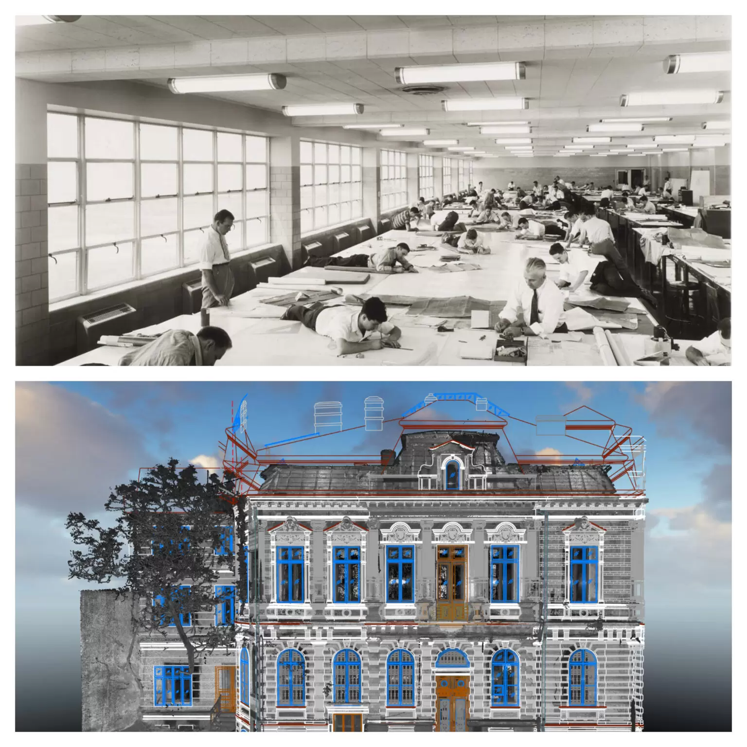
3D Laser Scanning
3D laser scanning is a modern measurement method used to generate a complete digital 3D model for buildings or objects, with precise measurements covering elevated scanning ranges (up to 340 m) and easily generating the BIM (Building Information Model) 3D model useful for architects, designers, and builders.
Among the benefits of modern measurement methods using 3D laser scanning are:
- Rapid measurement
- Maximization of safety for all involved parties (data is collected from a safe distance, on the ground).
- Significant reduction in time and costs
- Real project image
- As-Built plans completed in a very short time
- High data capture speed
- Recording millions of measured points in seconds
- Safe measurement in hard-to-reach or hazardous areas (up to 340 m from the measured target)
- Detailed information contained in a single point cloud.
How Xplorate Group can help you?
Xplorate Group provides clients with state-of-the-art professional equipment and full technical assistance through its team, accumulated experience, and expertise in the field of topographic measurements.
The services offered ensure competencies at the highest level in engineering practice, with the results obtained being a testament to the professionalism, vision, and experience that recommend us.
We invite you to consult our page for all the information you need and to contact us for any clarifications you may have regarding the topics and projects in which we can be involved.