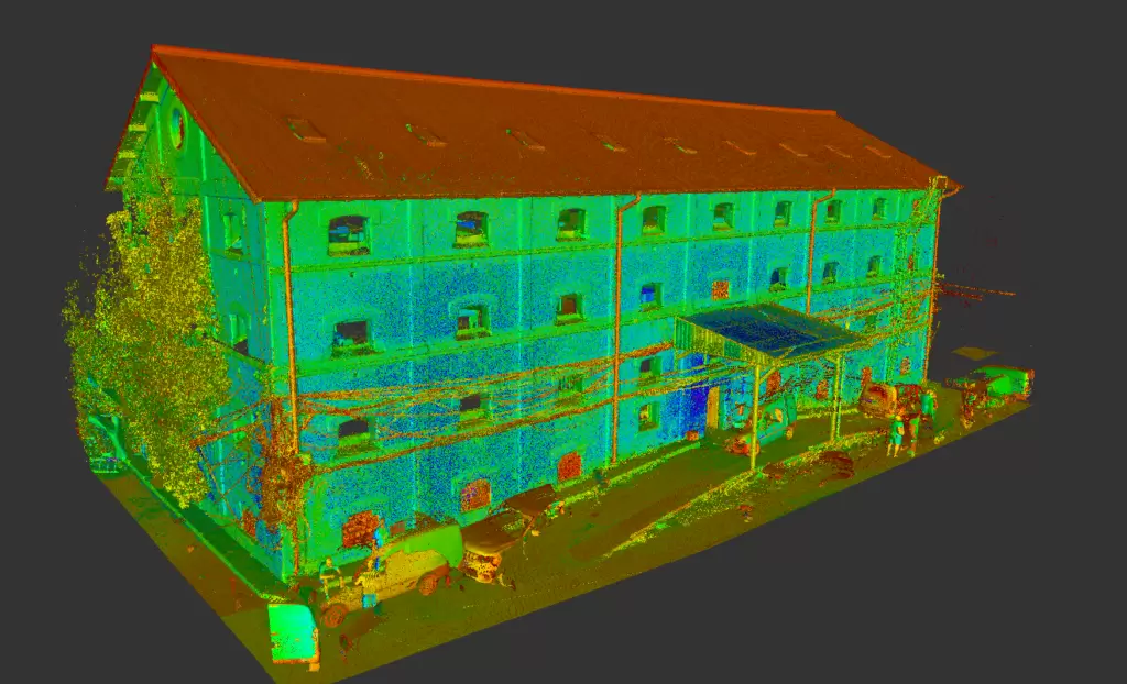
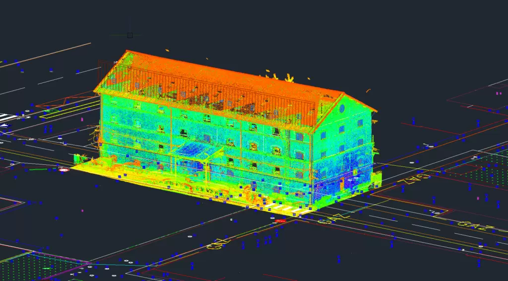
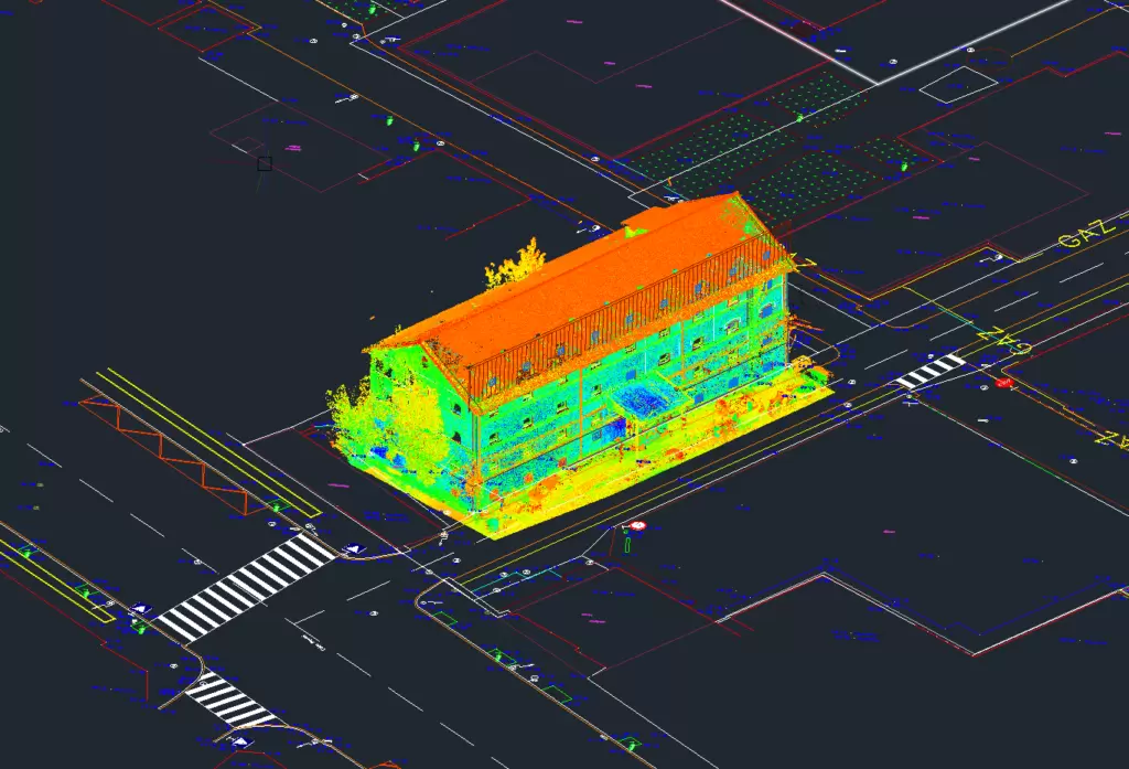
Location: Bucharest
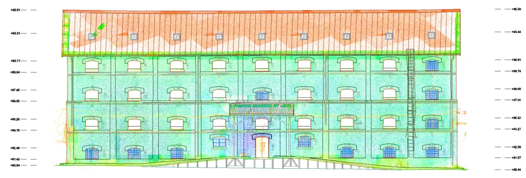
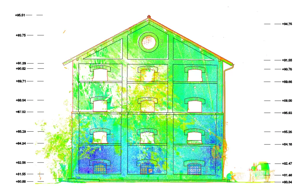
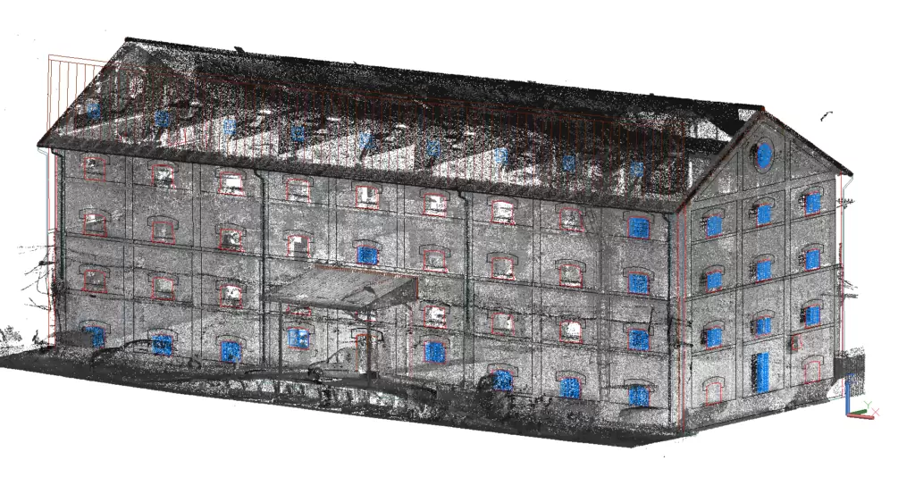
Objective: Floor plans, cross sections and construction facades
Scanning surface : 1380 square meters
Equipment used: Trimble TX8 / Trimble S5 total station
Eurosurvey team: 2 geodesy engineers with experience in 3D scanning and engineering surveying
Workflow (office and on-site):
- Acquisition of site located in Bucharest
- Establishing the positioning for the scanning stations and the resolution used according to the degree of detail required by the design theme
- Connecting the previously positioned stations was carried out on the basis of the scanned common plans (the common plans are represented by floor, ceiling, partition walls). A total of 82 3D laser scanning stations were implemented.
- Point cloud registration was performed with Trimble RealWorks software with an overall cloud-to-cloud error of 1.57 mm.
- extracting facades from the point cloud using AutoCAD
- extraction of horizontal and vertical sections but also building facades from the point cloud using AutoCAD