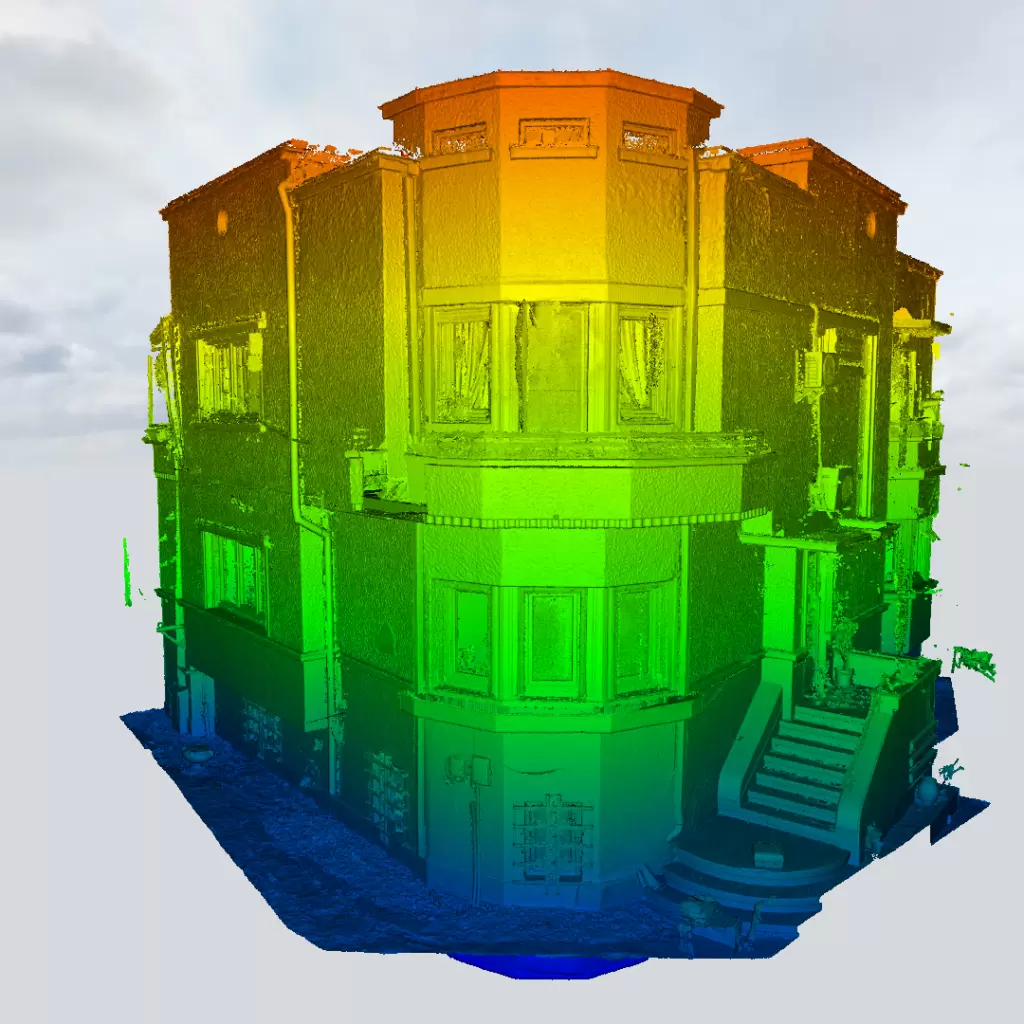
Location: Bucharest
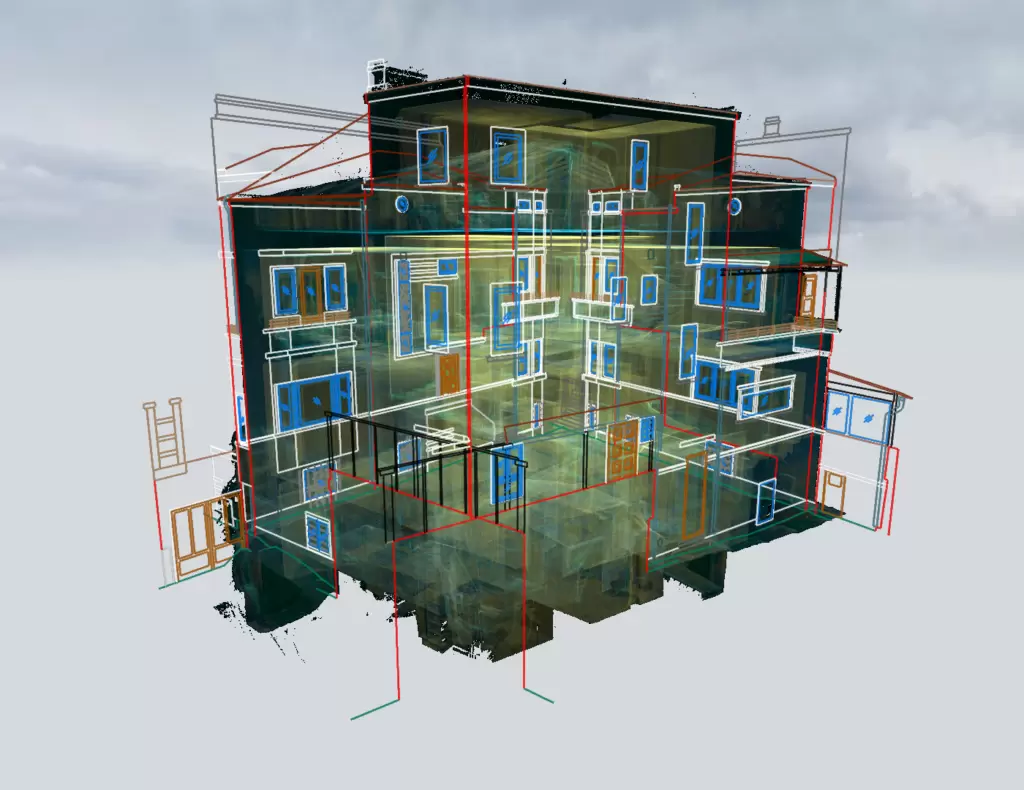
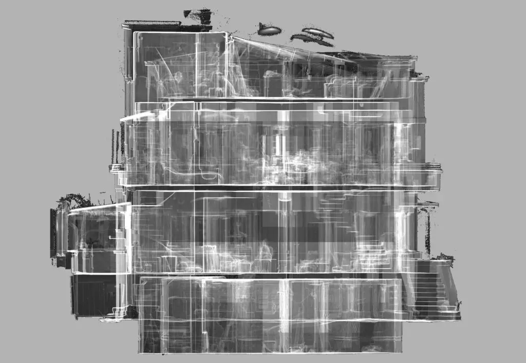
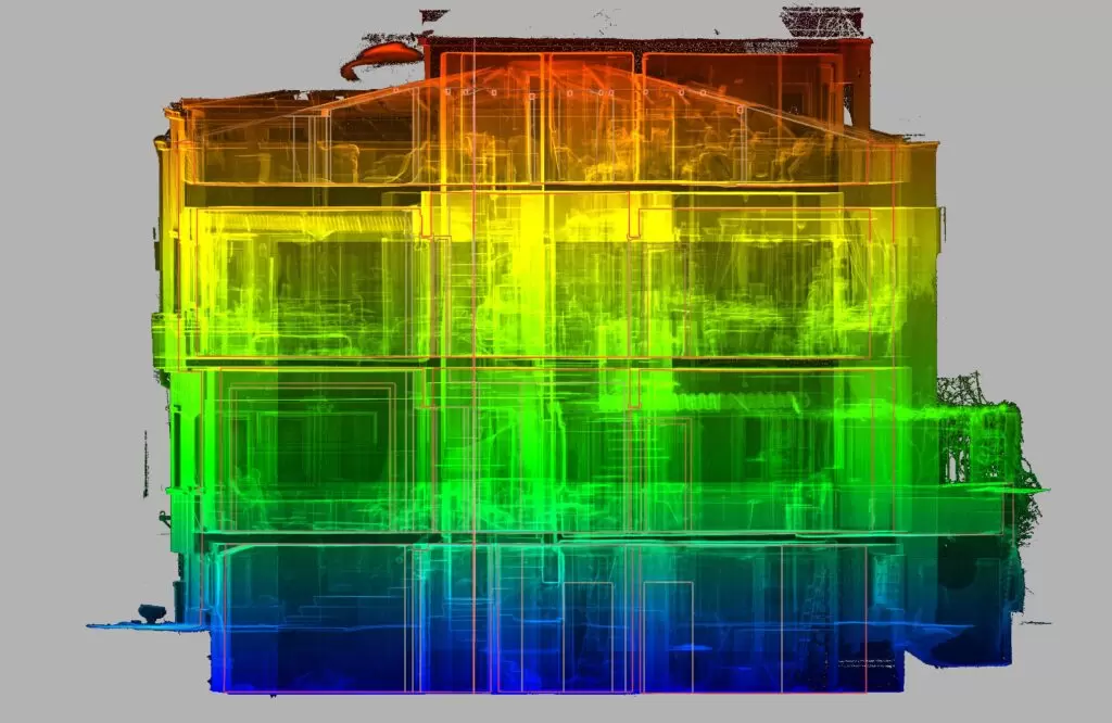
Deliverables: Cross sections, facades, level plans, topographic surveys
Scanned surface: 550 sqm
Equipment used: Trimble TX8 / Robotic Trimble S5 total station
Eurosurvey team: 2 land surveyors with experience in 3D scanning / 1 land surveyor with experience in point cloud processing
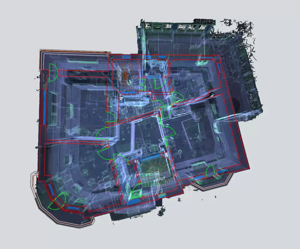
Workflow (office and on-site):
- Acquisition of site located in Bucharest
- Establishing the positioning for the scanning stations and the resolution used according to the degree of detail required by the design theme
- Connecting the previously positioned stations was carried out on the basis of the scanned common plans (the common plans are represented by floor, ceiling, partition walls). A total of 120 3D laser scanning stations were implemented.
- Point cloud registration was performed with Trimble RealWorks software with an overall cloud-to-cloud error of 3.1 mm.