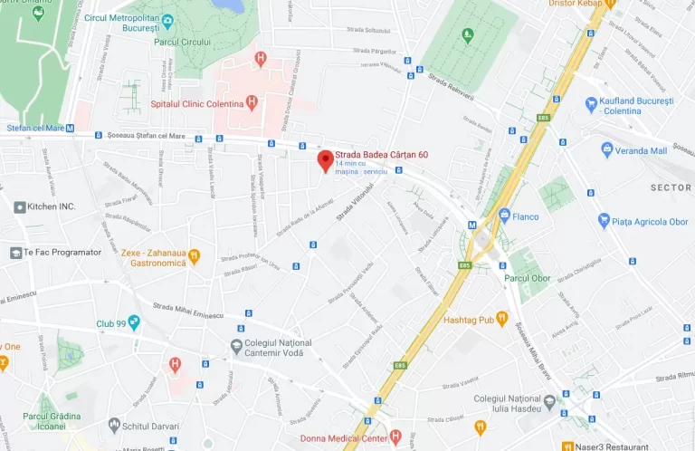
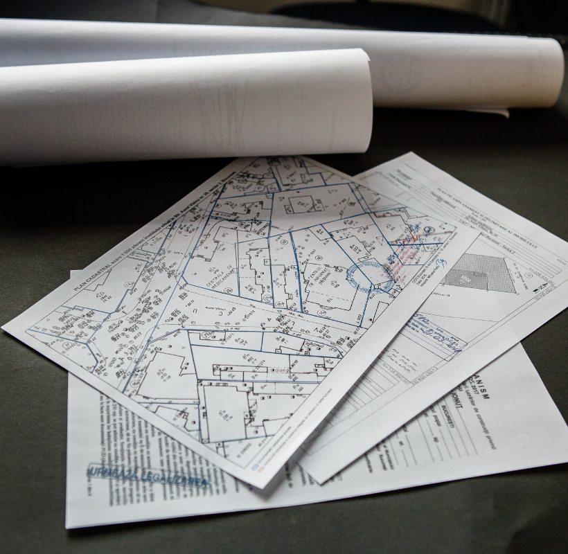
Plan of delimitation

What is the plan of delimitation? The plan of delimitation (PAD) is a technical document that establishes the real situation in the field by determining the boundaries and areas of land and/or buildings based on measurements. It is drawn up by an authorized person. The PAD is issued for the preparation of topographic and cadastral […]
The Certificate of urban planning – what is it and when do you need it?
What is the urban planning certificate? The urban planning certificate is the information document that lets the applicant know about the legal, economic and technical status of a building, the characteristics of the area in which the building is located (site), the urban planning requirements to be met, as well as the list of permits […]
Speedwell-Triama Residence

On site topographic assistance
Novum Timișoara 56 boulevard

Real estate registration, construction registration, documentation to declare subdivision into flats, land dismantling.
WDP Timișoara
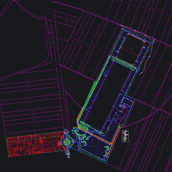
Topographic survey, 3D laser scanning – floor flatness, cross sections, interior mapping according to BOMA standard, land registration, topographic elevation and planimetric survey, altimetric and planimetric survey.
Vernescu House

Cadastral documentation (interior mapping)
Cortina North – Subdivision into flats

Interior mapping
Novum Politehnica

Construction behavior tracking in time of the executed and neighboring constructions, land and construction registration, documentation to declare subdivision into flats, land dismantling
Novum Invest Mill Lake I and II

Topography survey , execution support , construction behavior tracking in time, land registry .
Land registry Mega Image – Sudului Market

Land registry, internal surveys, construction registration