Eurosurvey & Wednesday – the story behind the big screens

We all know that films have the ability to transport us to different worlds, times and places and that is the main reason why we love them so much. We’ve all experienced the magic of the big screen and how it can capture our hearts and minds. However, have you ever stopped to wonder how […]
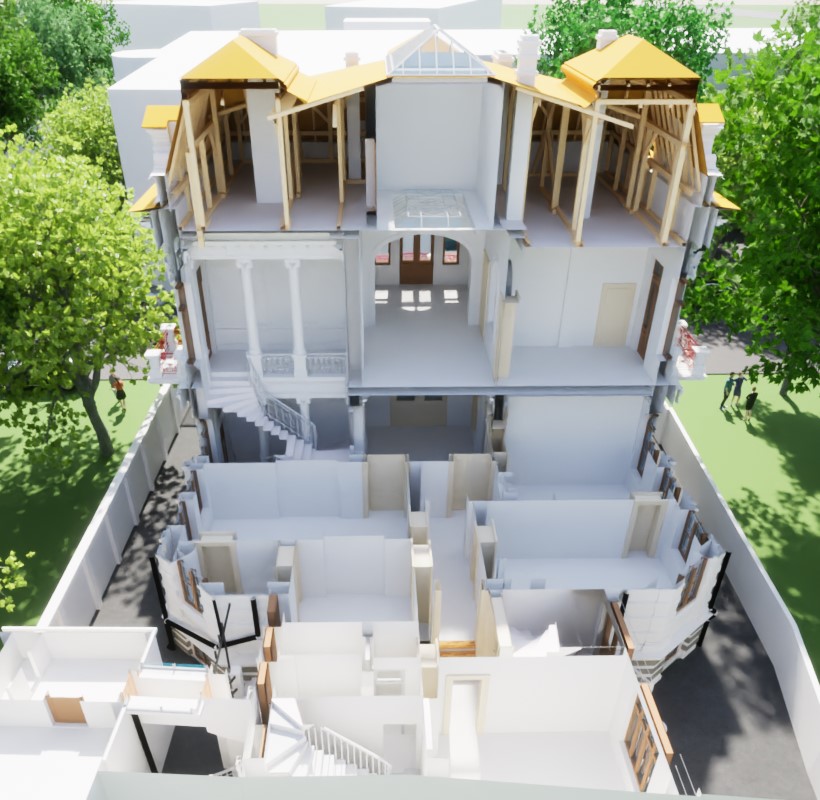
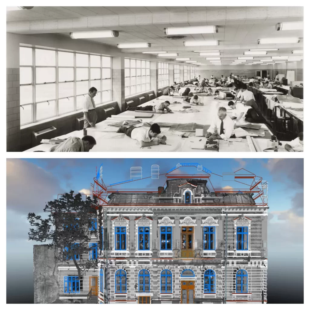
Case study – Rehabilitation of The Balkan Inn.
Rehabilitation of the Balkan Inn, Constanța PROJECT Specialized studies illustrate in detail the various ways in which 3D modeling can be used for the rehabilitation of a damaged building and beyond, 3D modeling becoming an important tool for architects and construction engineers who need to assess the state of degradation of a building and plan the necessary repairs, without affecting the authenticity of the building. SOLUTION 3D modeling is commonly used in rehabilitation. By creating a 3D model of the building, users can easily understand the damage and the […]
Wednesday – Mesh for special effects

Mesh for special effects
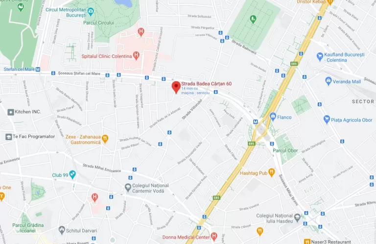
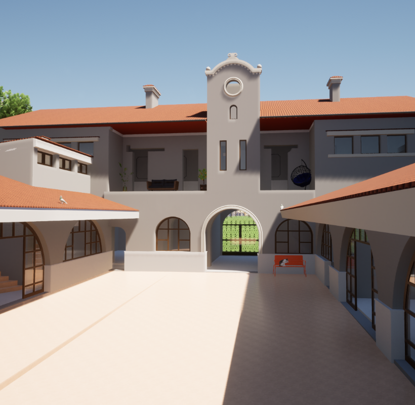
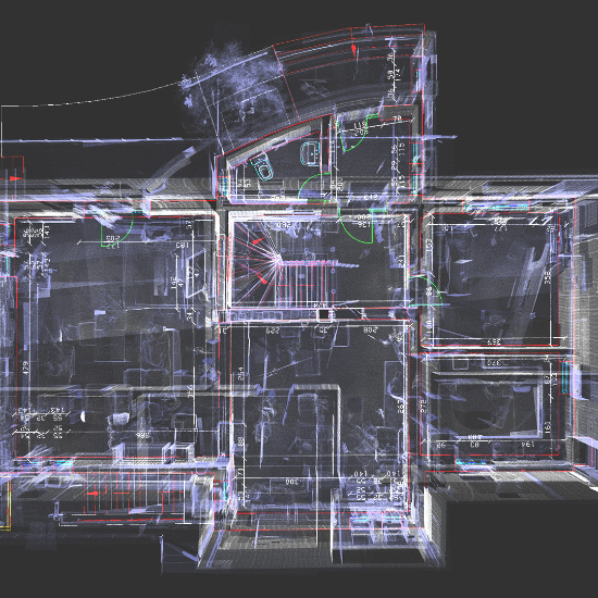
Case study – scanning services for the restoration of a building in Bucharest
Case study – 3D scanning services for the restoration of a building in Bucharest When we chose to publicly present a case study that would reflect the work of the Eurosurvey team as relevant as possible, it was a difficult decision. From the totality of the work we have in our portfolio, selecting one that […]
Maramureș property scanning
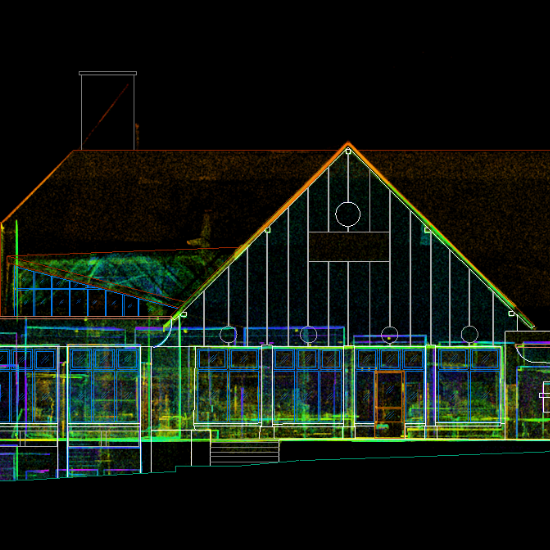
Cross section, facades, level plans, roof plan
Iași property Scanning
Cross section, facades, level plans
WDP Timișoara
Topographic survey, 3D laser scanning – floor flatness, cross sections, interior mapping according to BOMA standard, land registration, topographic elevation and planimetric survey, altimetric and planimetric survey.
Plevnei C56 property

Cross section, facades, level plans, roof plan
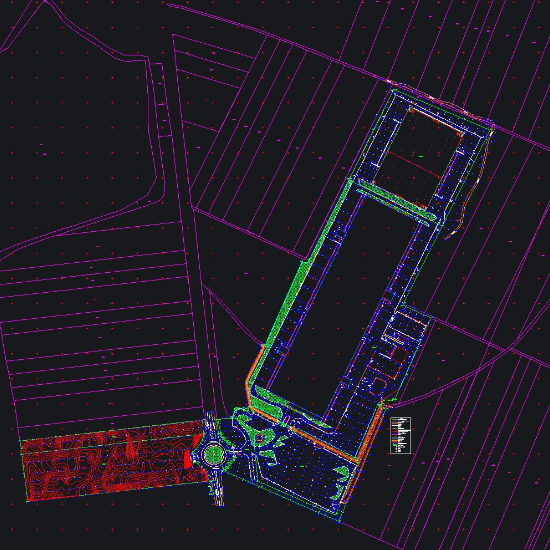
Parallels between classical and modern topographic surveying methods
History of topographical measurements Drawn up as a means of illustrating Michael the Brave’s battles against the Turks, the first informative maps of the Roman Lands appeared in 1596 in Italy and Germany. The first maps illustrated by romanians were those made by the stolnic Cantacuzino in 1700 for Valahia Mare and that of Moldavia […]
Plevnei C33
3D Modeling